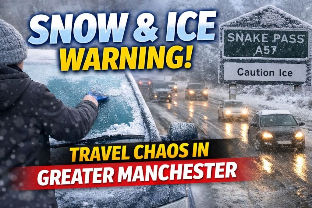
If you found yourself scraping ice from the windscreen before sunrise, you were already one step ahead of the forecast. The sharp, biting air across the region has made it clear that Manchester weather has entered a more dangerous phase, and forecasters have now confirmed it with an official yellow warning for snow and ice.
The warning, which came into force shortly after midnight, remains active until 12:00pm on Friday, placing the morning commute firmly at risk across Greater Manchester and parts of Cheshire.
For many residents, this marks the first real winter challenge of 2026 — and it arrives at exactly the wrong time.
A Sudden Arctic Plunge Hits Manchester
This is not a routine frosty morning. Greater Manchester is currently under the influence of a cold Arctic air mass that has dragged temperatures well below the seasonal average.
Although air temperatures may appear to hover just above freezing, strong northerly winds are driving wind-chill values down to –4°C or –5°C in exposed areas such as Oldham, Rochdale and the outer edges of the city. Any moisture on roads or pavements is freezing rapidly, creating hazardous conditions.
The yellow warning highlights the risk of snow, ice and slush, with wintry showers pushing in from the north-west. While the city centre often avoids heavy accumulation due to retained urban heat, surrounding boroughs are far more vulnerable.
Areas including South Manchester, Stockport, Altrincham and Cheshire could see 1–2cm of snow at lower levels, while higher ground toward the Pennines may receive up to 5cm, making rural and cross-Pennine routes particularly treacherous.
Friday Commute: Where Problems Are Most Likely
The biggest concern surrounding this bout of Manchester weather is timing. With the warning covering the entire rush hour, disruption is most likely when traffic volumes are highest.
Road conditions
Major routes such as the M60 and M56 are expected to remain open, though slush and spray may reduce visibility. The greater danger lies on untreated residential streets and minor roads, where black ice can form suddenly and without warning.
Public transport
Cold snaps can cause points to freeze, leading to delays on tram and train services. Metrolink users on the Bury and Rochdale lines are advised to check for service updates before travelling.
Pedestrians
City centre pavements can become deceptively dangerous. Smooth stone surfaces around St Peter’s Square, Deansgate and Spinningfields are especially prone to icing during early morning hours.
What Happens After the Warning Lifts?
Once the warning expires at midday, the immediate threat from snow showers is expected to ease. However, conditions will remain far from comfortable.
The wider Manchester weather pattern is set to turn drier but significantly colder. The weekend outlook points to severe overnight frosts, with Saturday and Sunday offering bright spells but little warmth. Daytime temperatures are expected to struggle beyond 3°C, while nights will dip well below freezing.
Anyone heading out for winter walks around Lyme Park, Heaton Park or Dove Stone Reservoir should expect frozen ground, icy paths and bitter winds.
Manchester Adapts As It Always Does
Cold spells rarely bring the city to a standstill, but they do change behaviour. Extra layers appear overnight, kettles work overtime, and journeys take a little longer. It’s a familiar response to Manchester weather — practical, cautious and quietly resilient.
Residents are being encouraged to allow extra travel time, check on elderly neighbours who may struggle with icy paths, and dress for conditions rather than appearances.
This may be winter’s first serious test of the year, but it’s one Manchester knows well.
Manchester Weather FAQs
Why has a yellow warning been issued for Manchester weather?
A yellow warning is issued when snow and ice may cause travel disruption, slippery surfaces and minor delays.
How long will the warning last?
The warning remains in effect until 12:00pm on Friday, covering the morning commute.
Will Manchester city centre see snow?
The city centre may see sleet or brief snow, but heavier accumulation is more likely in surrounding areas.
Which parts of Greater Manchester are most affected?
Higher ground and outer boroughs such as Oldham, Rochdale, Stockport and Cheshire face the greatest risk.
Is it safe to travel during this weather?
Travel is possible but requires caution due to icy roads, frozen pavements and potential public transport delays.
Will Manchester weather improve over the weekend?
Conditions should turn drier, but freezing nights and widespread frost are expected to continue.


