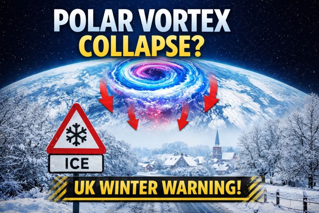
Meteorologists are closely tracking a significant disturbance high above the Arctic, as the latest polar vortex collapse forecast points to a major stratospheric shake-up as winter moves into its final phase. Several long-range models now suggest the polar vortex could weaken sharply or even partially collapse in early February, raising fresh questions about how the rest of winter may unfold across the UK and Europe.
While the most immediate impacts are being felt in North America, the evolving pattern is one that UK forecasters are watching carefully. History shows that when the polar vortex is disrupted, knock-on effects can ripple through the atmosphere for weeks, reshaping the jet stream and increasing the risk of colder, more volatile weather further south.
At a glance
- Strong stratospheric warming developing over the Arctic
- Increased risk of jet stream disruption in February
- UK cold spells more likely, but not guaranteed
- Greatest impacts often arrive one to three weeks after peak warming
What Is the Polar Vortex and How Can It Collapse?
The polar vortex is a vast circulation of cold air and low pressure that forms over the Arctic every winter. It stretches from the lower atmosphere up into the stratosphere, where powerful westerly winds normally keep the cold air tightly contained near the pole.
When forecasters talk about a polar vortex collapse forecast, they are usually referring to a major weakening of this circulation in the stratosphere. This most often happens during a sudden stratospheric warming event, when temperatures tens of kilometres above the Earth’s surface rise dramatically in just a few days.
During these events:
- The polar stratosphere can warm by 30 to 50°C
- Westerly winds around the pole weaken or reverse
- The vortex may become distorted, displaced, split, or severely weakened
Crucially, this disruption can filter down into the lower atmosphere, altering the jet stream and surface weather patterns, often with a delay of one to three weeks.
Why Forecasters Are Paying Close Attention Now
What makes the current polar vortex collapse forecast stand out is the strength and persistence of the signals emerging in forecast models. Recent stratospheric analyses show a powerful warming developing around the 10 hPa level, a classic altitude for major sudden stratospheric warming events.
At the same time, ensemble forecasts indicate that this is not a brief wobble. Instead, the vortex appears likely to weaken over an extended period, increasing the chance that the disturbance will propagate downward and influence surface weather across much of the Northern Hemisphere.
Specialist meteorological discussions describe the vortex as becoming increasingly unstable, losing its usual tight, circular structure and instead elongating or fragmenting into separate lobes of cold air.
What a Polar Vortex Collapse Means for UK Weather
For the UK, the impacts of a polar vortex disruption are rarely immediate or straightforward. A polar vortex collapse forecast does not automatically translate into heavy snow or a repeat of historic cold spells such as the “Beast from the East”.
Instead, it changes the background odds.
When the vortex weakens, the jet stream is more likely to become slower and wavier rather than fast and zonal. This increases the chance of:
- Blocking high pressure over Greenland or Scandinavia
- Atlantic weather systems being deflected southwards
- Colder northerly or easterly air pushing towards northern Europe
In these scenarios, the UK often ends up near the boundary between milder Atlantic air and colder continental or Arctic air, a classic setup for sharp regional contrasts and wintry hazards.
Volatility, Not Certainty
At present, the clearest cold signals are focused on North America and parts of central and eastern Europe, where Arctic air outbreaks are already producing unusually low temperatures.
For the UK, the outlook suggested by the latest polar vortex collapse forecast is more nuanced. Medium- to long-range guidance points towards a growing tug of war between Atlantic systems from the southwest and colder air attempting to dig in from the north and northeast.
This pattern tends to produce:
- Stop-start weather rather than prolonged spells
- Periods of rain and wind, particularly in the south and west
- Increased snow risk for northern areas and higher ground
- Rapid changes over short distances as air mass boundaries shift
Early February 2026: What to Watch For
Short term (next 7 to 10 days)
- Unsettled conditions with bands of rain and showers
- Hill snow in Scotland, with local wintry risks elsewhere
- Temperatures fluctuating around seasonal averages
- Strong winds at times, especially near coasts
Mid to late February
This is the window when the stratospheric signal is most likely to influence surface weather.
If the disruption propagates downward as expected, forecasters will be watching for:
- Jet stream displacement further south
- High pressure building to the north or northeast
- Colder air becoming more established across parts of the UK
This is also when the risk of more disruptive snow events would increase, particularly if moisture from the Atlantic meets entrenched cold air.
Europe-Wide Implications
Across Europe, the polar vortex collapse forecast raises the likelihood of a more amplified winter pattern:
- Continued severe cold risk in northeastern and central Europe
- Milder, wetter conditions further southwest at times
- Strong contrasts between neighbouring regions
- Higher potential for transport and energy disruption
Such patterns are often high-impact even if not every country experiences extreme conditions simultaneously.
Why These Events Matter
Atmospheric scientists have long noted that polar vortex disruptions play a key role in shaping winter extremes. While average winters have warmed overall, a weaker or more distorted vortex can still deliver sharp cold spells by allowing the jet stream to meander more dramatically.
At the same time, forecasters stress that stratosphere-to-surface coupling remains complex. Not every sudden warming produces major cold at ground level, and small shifts in pressure patterns can make a big difference to outcomes in the UK.
Read More: Manchester Weather Today: A Wet, Windy Sunday with Little Let-Up Until Evening


