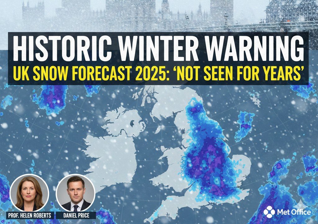
More than 70% of Britons now check winter forecasts daily. Anxious parents scan radar maps before every school run. Heating bills soar as temperature graphs plunge. The latest snow weather forecast isn’t just predicting another mild winter—it hints at an atmospheric pattern not seen for years. Could the remainder of 2025 and early 2026 genuinely rewrite Britain’s weather history?
The UK’s latest long-range outlook signals an increased chance of disruptive cold spells. Met Office outlooks highlight a heightened risk of below-average temperatures, especially if powerful high pressure blocks milder Atlantic air. Forecasters are tracking unusual shifts in the North Atlantic Oscillation (NAO) and monitoring the potential for Sudden Stratospheric Warming (SSW), events which often precede the UK’s most significant cold snaps. Local councils already prepare gritters, emergency shelters, and revised school closure plans. Authorities urge calm, careful planning, and close monitoring of official alerts—because the risk is real.
When UK Snow Paralyzed a Nation
Britain’s relationship with snow is both deeply emotional and historic. Any major snow weather forecast revives memories of the infamous winters of 1947 and 1963. Those episodes brought frozen rivers, paralysed rail lines, and the rationing of coal. More recently, the 2009–10 and 2010–11 winters disrupted flights, closed schools nationwide, and cost the economy millions.
Each major snowfall event has reshaped infrastructure planning and emergency response. Snow in Britain is often marginal, sitting on a knife-edge of temperature—a single degree decides between heavy rain and crippling blizzards. That uncertainty creates a national drama: headlines scream, rumours spread, and supermarkets empty. Forecasters compare current jet stream patterns and North Atlantic behaviour with past cold events, looking for echoes, not exact repeats. For many communities, significant snowfall brings both hardship and shared joy.
Did You Know? In some recent winters, more than 40% of UK rail delays during cold spells related to snow and ice impacts, proving the fragility of key infrastructure.
What The Models Really Say
Operational meteorologist Daniel Price notes: “We talk in probabilities, not promises.”
Experts urge nuance when reading any snow weather forecast. Professor Helen Roberts, atmospheric scientist, explains: “Snow prediction in the UK is inherently marginal. A slight wind shift can transform heavy snow into cold rain.”
Forecasters are tracking several critical drivers that point to the increased cold risk:
The North Atlantic Oscillation (NAO): A negative phase often favours blocked, colder conditions over Europe, pushing Atlantic systems south.
Sudden Stratospheric Warming (SSW): Historically, these events, which weaken the Polar Vortex, have raised the odds of a major UK cold spell within weeks.
Ensemble models might show a 30–40% chance of disruptive snow, but that number still leaves a strong possibility of milder outcomes. Experts stress that local snow weather forecast details lock in late; confidence often improves only three to five days ahead.
“We talk in probabilities, not promises.” – Operational meteorologist Daniel Price, emphasising the need for flexible planning.
How Modern Forecasting Works
Today’s snow weather forecast relies on decades of scientific progress. While mid-twentieth-century forecasters hand-plotted charts, today’s systems perform trillions of calculations per second.
The revolution came with Numerical Weather Prediction (NWP) and, later, Ensemble Forecasting. Instead of a single deterministic run, modern supercomputers generate dozens of scenarios, each slightly tweaking initial conditions. This reveals the range of uncertainty, underpinning every modern snow weather forecast.
Meteorologists now communicate probability, not certainty. They blend satellite data, aircraft reports, weather balloons, and ground stations, using high-resolution regional models to zoom down to neighbourhood scales. Their work underlies gritting schedules and emergency contingency plans nationwide.
From School Runs to Small Businesses
When a high-impact snow weather forecast appears, communities react quickly.
Local Authorities review gritting routes, often holding thousands of tonnes of salt in reserve.
Schools face difficult decisions, balancing pupil safety with educational disruption. Check your [school closure procedures] early.
Small Businesses see footfall collapse, yet online sales may rise. Hospitality venues juggle cancellations against extra walk-ins.
Vulnerable Residents face the greatest risk from icy pavements and cold homes. Community groups coordinate check-ins and emergency deliveries, turning weather stress into moments of solidarity.
Did You Know? Local authorities can spread several thousand tonnes of salt in a single widespread gritting operation during a major cold event.
What to Do Next
The snow weather forecast story will grow more complex as climate change shifts average temperatures while still allowing intense cold snaps. For now, the message is clear and actionable:
Stay Informed: Monitor official Met Office guidance, not just single app runs.
Plan Travel: Check snow weather uk and plan flexible journeys for three to five days ahead.
Prepare Home: Review UK energy saving advice and stock essentials sensibly.
Support Neighbours: Treat weather alerts as a trigger to check on vulnerable residents.
The key is treating weather information as a living, updating picture. Prepare for the possibility of disruption without overreacting to the promise of snow.
FAQ:
What does the latest UK snow weather forecast actually show?
It shows an increased chance of colder spells, with some risk of disruptive snowfall, especially if high-pressure blocking patterns strengthen over Europe.
Why is the UK snow weather forecast so difficult to get right?
Britain sits between cold continental and mild maritime air. Tiny temperature shifts change snow to rain, complicating marginal forecasts.
How far ahead can experts reliably predict snowfall?
Broad risk patterns appear weeks ahead, but precise local snowfall details usually become reliable only three to five days before.
What does “30% chance of disruptive snow” really mean?
It means that, in three out of ten similar atmospheric setups, significant snow might occur, while the others may bring rain or milder conditions instead.
How should families prepare when a severe snow weather forecast appears?
Stock essentials sensibly, charge devices, plan flexible travel, check school updates, and support vulnerable neighbours with warmth and supplies.


