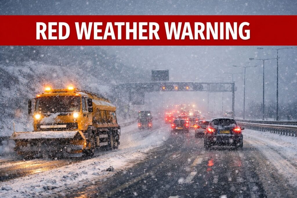
A rare red weather warning in the far South West is tonight feeding the same brutal weather system that is now pushing heavy snow, ice and biting winds into Greater Manchester, threatening major disruption to Friday’s rush hour.
Here in Manchester, snow showers that began as sleet over the city centre this afternoon are steadily turning heavier and more persistent, particularly across higher ground in Oldham, Rochdale, Tameside and the moors above Bolton and Bury.
Road cameras on the M60 and M62 are already showing slushy surfaces and slow-moving traffic, while gritters continue working key routes as temperatures fall.
Transport operators are warning of difficult conditions overnight, with the trans-Pennine stretch of the M62 towards Huddersfield, Saddleworth Moor and routes over to Yorkshire expected to be among the hardest hit as Storm Goretti’s cold, unstable air collides with milder Atlantic moisture.
What this warning means and why it matters here
The Met Office has issued its highest-level alert for wind for parts of Cornwall and the Isles of Scilly this evening as Storm Goretti undergoes rapid deepening in the Atlantic.
That red-level alert is hundreds of miles away, but it is a clear signal of the sheer power of the system now affecting the whole country.
In simple terms:
- A red weather warning is only issued when dangerous conditions are not just possible but very likely, with a high risk to life, serious damage to buildings and widespread disruption to transport and power supplies.
- An amber alert, covering large parts of Wales and the Midlands for heavy snow, signals a high likelihood of significant travel disruption, stranded vehicles and power cuts.
- A yellow alert, which includes Greater Manchester for snow and ice, means disruptive weather is possible and on higher routes, increasingly likely but impacts can vary sharply from district to district.
While Manchester is not under the highest alert locally, the same storm system that triggered the red weather warning in the South West is now driving a belt of heavy, cold air and snowfall across the North West and the spine of England.
Storm Goretti: snow, ice and strong winds across the North West
A “weather bomb” driving nationwide disruption
Storm Goretti has been described by forecasters as a potential Red weather warning bomb, a rapidly deepening low-pressure system racing in from the Atlantic a process known as explosive cyclogenesis.
That rapid intensification has produced hurricane-force gusts in the far South West and is now fuelling widespread snow and icy conditions further north.
On the latest UK Red weather warning maps and storm tracking models, Greater Manchester sits on the northern flank of the system, where cold Arctic air undercuts moisture streaming in from the south west.

For the city region, that means:
- Periods of heavy, wet snow turning more powdery and persistent on higher ground
- Strong, gusty winds across exposed moorland and elevated stretches of motorway
- Rapid deterioration of road conditions where snow settles on already frozen surfaces
Snow depth, drifting and travel danger
Computer models feeding into snow radar and live precipitation tracking show a band of intense showers pivoting across the North West overnight.
For Greater Manchester, that translates into:
City and low-lying areas
(Manchester, Salford, Trafford, central Stockport, central Bolton)
A mix of rain, sleet and snow, with slushy accumulations on side streets and untreated pavements. Main roads should remain mostly wet initially but could turn icy later where showers persist.
Higher suburbs and fringe towns
(Oldham, Rochdale, Tameside, north Stockport, north Bury, parts of Wigan and Bolton)
Several centimetres of snow possible overnight, particularly above 200–250 metres, with drifting in exposed spots.
Pennine routes and moors
(M62 over Saddleworth, A57 Snake Pass, A628 Woodhead)
10–15cm of snow in places, with more on the highest ground, blowing around in strong winds and making conditions hazardous or temporarily impassable.
Icy patches will be a major concern by dawn, especially where earlier rain and sleet refreezes.
How Greater Manchester is being hit
Roads and motorways
Highways teams across the city region began pre treating major routes well before sunset. Gritters have focused on the M60, feeder motorways and exposed slip roads, as well as trans-Pennine routes.
Despite this, drivers are being advised to avoid non essential overnight travel, particularly over high ground and rural A-roads. Sudden changes in intensity mean a clear stretch of road can become snow-covered within minutes.
Bus operators are warning that services serving higher estates in Oldham, Rochdale and Tameside may be curtailed or diverted if conditions worsen.
Rail, Metrolink and the airport
Rail services into and out of Manchester Piccadilly, Victoria and Oxford Road are expected to run, but late night and early-morning trains could face delays if snow settles on points and platforms.
Metrolink is vulnerable to drifting snow and icing on exposed sections, particularly on the Rochdale via Oldham and Airport lines.
Manchester Airport remains open, though overnight snow showers may require aircraft de-icing, with potential knock-on delays for early flights.
Neighbourhoods and local services
Across Salford, Bolton, Bury, Wigan and Stockport, pavements are likely to turn slick, with slushy build-up on residential streets and familiar pinch points around schools and shopping parades.
Councils have warned that some schools may open later or close if surrounding roads are unsafe, bin collections could be delayed, and home-care visits may take longer to complete.
Official safety advice for residents
Local authorities and emergency services are urging people not to underestimate the combination of snow, ice and wind.
Key advice includes allowing extra time for essential journeys, sticking to main routes where possible, taking extra care on foot, and checking in on vulnerable neighbours.
Emergency planners stress this is not a night for risky shortcuts or late-night drives over exposed routes.
What happens next for Manchester
Storm Goretti is fast-moving but complex. While the strongest winds remain to the south and west, the risk of snow and ice across the North West continues into Friday and, in some areas, into Saturday.
The Friday morning rush hour is likely to be the most difficult period, with compacted snow and ice on untreated roads and delays across transport networks.
Reporter’s sign off steady, not scared
Greater Manchester has weathered its share of wild winter nights. Storm Goretti, driven by the same system that triggered the highest alert in the South West, is another serious test.
But the fundamentals remain the same: heed official warnings, give gritters and emergency crews room to work, and look out for one another.
Residents are being encouraged to keep an eye on updated Met Office forecasts and local council channels as long as the red weather warning remains active elsewhere in the UK and conditions continue to evolve.


