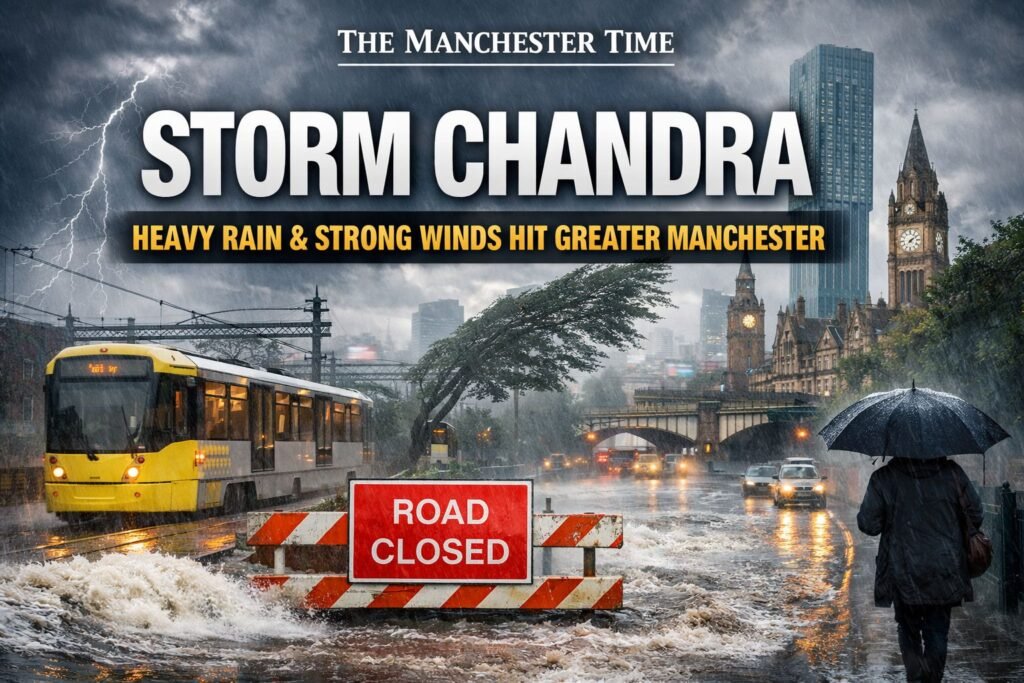
Storm Chandra is impacting Greater Manchester today, bringing periods of heavy rain, strong winds and difficult travel conditions across the region. Weather warnings remain in place as residents face the risk of localised flooding, transport disruption and worsening conditions through much of the day.
The storm is the latest in a run of unsettled weather affecting the North West, with its impact felt from Manchester city centre to surrounding boroughs including Bolton, Bury, Oldham, Rochdale, Salford, Stockport, Tameside, Trafford and Wigan.
What Manchester Residents Are Facing Today
Heavy rain moved into Greater Manchester during the early hours, with further downpours expected through the morning and into the early afternoon. While rainfall levels will vary, saturated ground from recent storms means surface water flooding remains a concern in vulnerable areas.
Temperatures are staying low for late January, and brisk winds are making conditions feel colder, particularly in exposed locations and on higher ground. Although most lower-lying areas are seeing rain, wintry conditions remain possible across elevated routes toward the Pennines and Peak District.
For many Mancunians, the storm is less about dramatic scenes and more about persistent disruption, slower journeys, soggy streets and the need to stay alert as conditions change.
Transport Networks Under Pressure
Travel disruption is already being felt across Greater Manchester. Road users are being urged to take extra care, with spray, standing water and reduced visibility reported on major routes including the M60, M62 and M56.
Rail services remain under strain, with ongoing disruption between Manchester and West Yorkshire compounding the effects of Storm Chandra. Passengers are being advised to check before travelling and allow extra time, particularly during peak periods.
Metrolink services are operating, but transport bosses have warned that weather-related delays remain possible if conditions deteriorate. Manchester Airport has also advised passengers to stay alert for potential knock-on effects, particularly if strong winds persist.
Flooding Risk Remains a Key Concern
The arrival of Storm Chandra comes just weeks after severe New Year flooding affected parts of Greater Manchester, leaving ground conditions vulnerable to further rainfall.
Rivers including the Mersey and Tame are being closely monitored, and residents in flood-prone areas are urged to remain vigilant. While widespread flooding is not expected, authorities warn that localised issues can develop quickly if heavy rain continues.
Households previously affected by flooding are being encouraged to stay prepared and keep up to date with local alerts throughout the day.
Councils and Emergency Services on Standby
Local authorities across Greater Manchester have response teams in place as Storm Chandra continues to move through the region. Drainage systems, known flood hotspots and key routes are being monitored, with crews ready to respond to reports of flooding, fallen trees or debris.
Emergency services have stressed that residents should avoid unnecessary travel during the worst conditions and never attempt to drive or walk through floodwater.
What to Expect Next
Forecasts suggest unsettled conditions will persist for much of today, with rain easing later and winds gradually moderating into the evening. Further showers remain possible, and temperatures are expected to stay near seasonal averages over the coming days.
For Manchester residents, Storm Chandra is another reminder of how quickly winter weather can disrupt daily life across the region. Staying informed, planning journeys carefully and taking simple precautions can help reduce the impact as the storm passes.


